Selected projects from my GitHub profile.
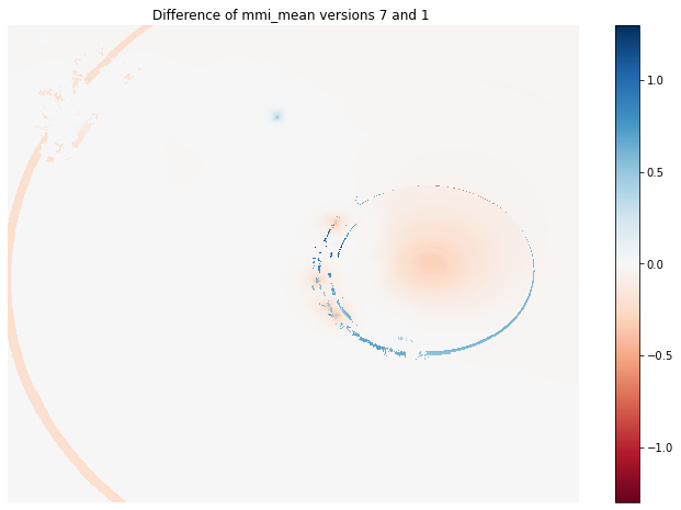
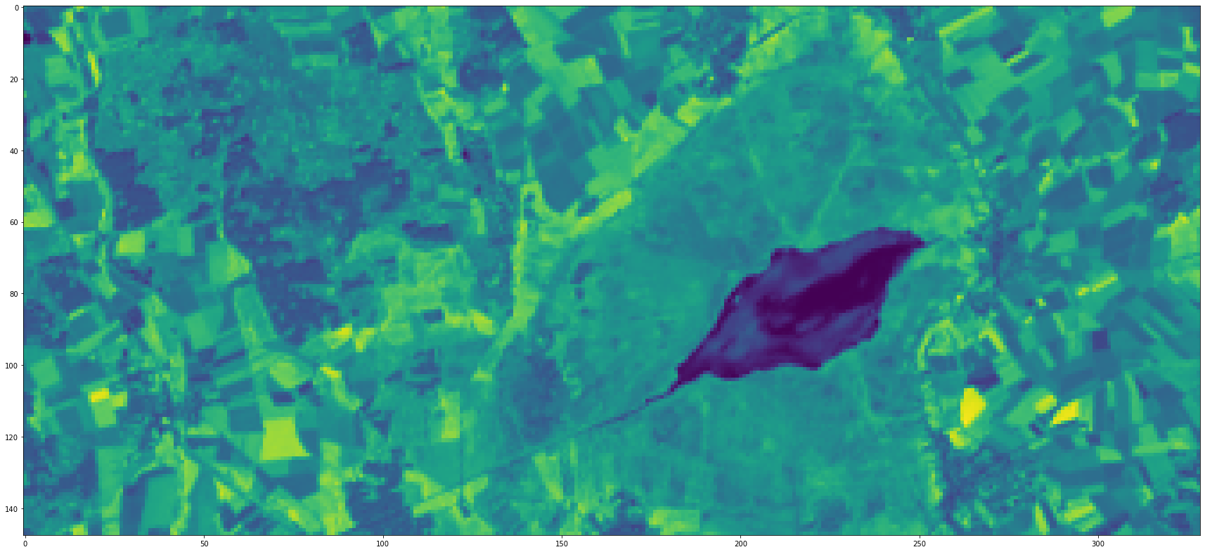
eobox: A Python package for processing earth observation data.
nasa_hls: A Python package to download data from NASA’s Harmonized Landsat and Sentinel-2 project.
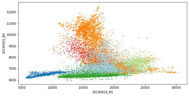
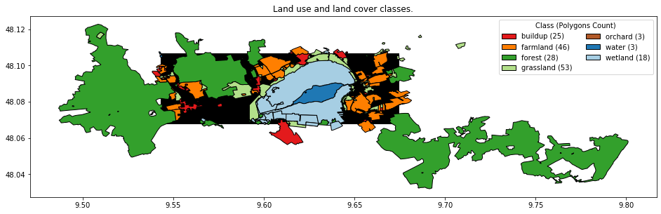
classify-hls: A Python project to showcase the classification of HLS Sentinel-2/Landsat data (multple tiles) with reference data from CORINE Land Use / Land Cover data using nasa_hls and eobox.
oneClass: An R package for one-class classification which I have developed during my PhD.
lucas: An R package for downloading and processing Land cover/use statistics (LUCAS) data provided by EUROSTAT.