Satellite imagery classification - I
Leveraging Cloud Optimized GeoTIFFs to download parts of Landsat scenes
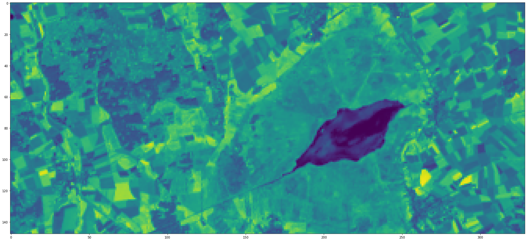
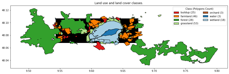
This is a three parts series about classification of remote sensing images. Remote sensing images are already beautiful enough to only look at, but they can also be used for mapping the earth’s surface. When the task is to map categorical classes, such as forest, water, meadow, farmland, residential area, etc. the task can be solved by classification, often more specifically called land use and/or land cover classification.