Satellite imagery classification - II
Downloading and preparing OpenStreetMap data
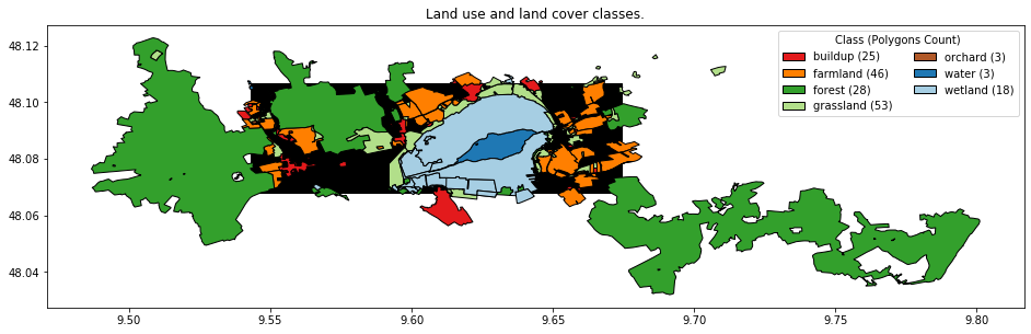
This is the second part of a three parts series about using remote sensing data to classify the earth’s surface. Please read the first part of the series if you are interested in an introduction to the post series and / or in the first part where we downloaded parts of Landsat scenes by leveraging the Cloud Optimized GeoTIFF format.